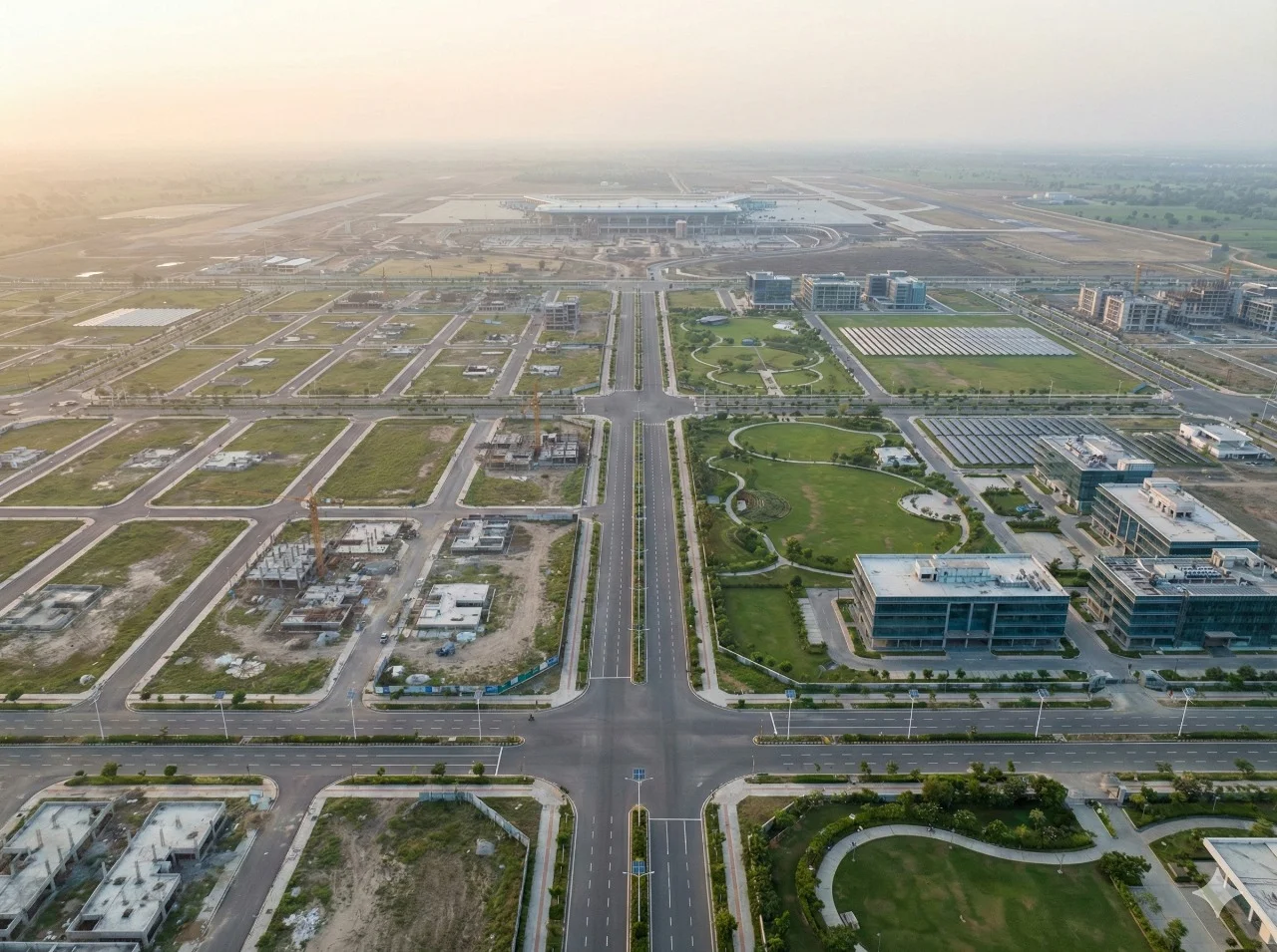
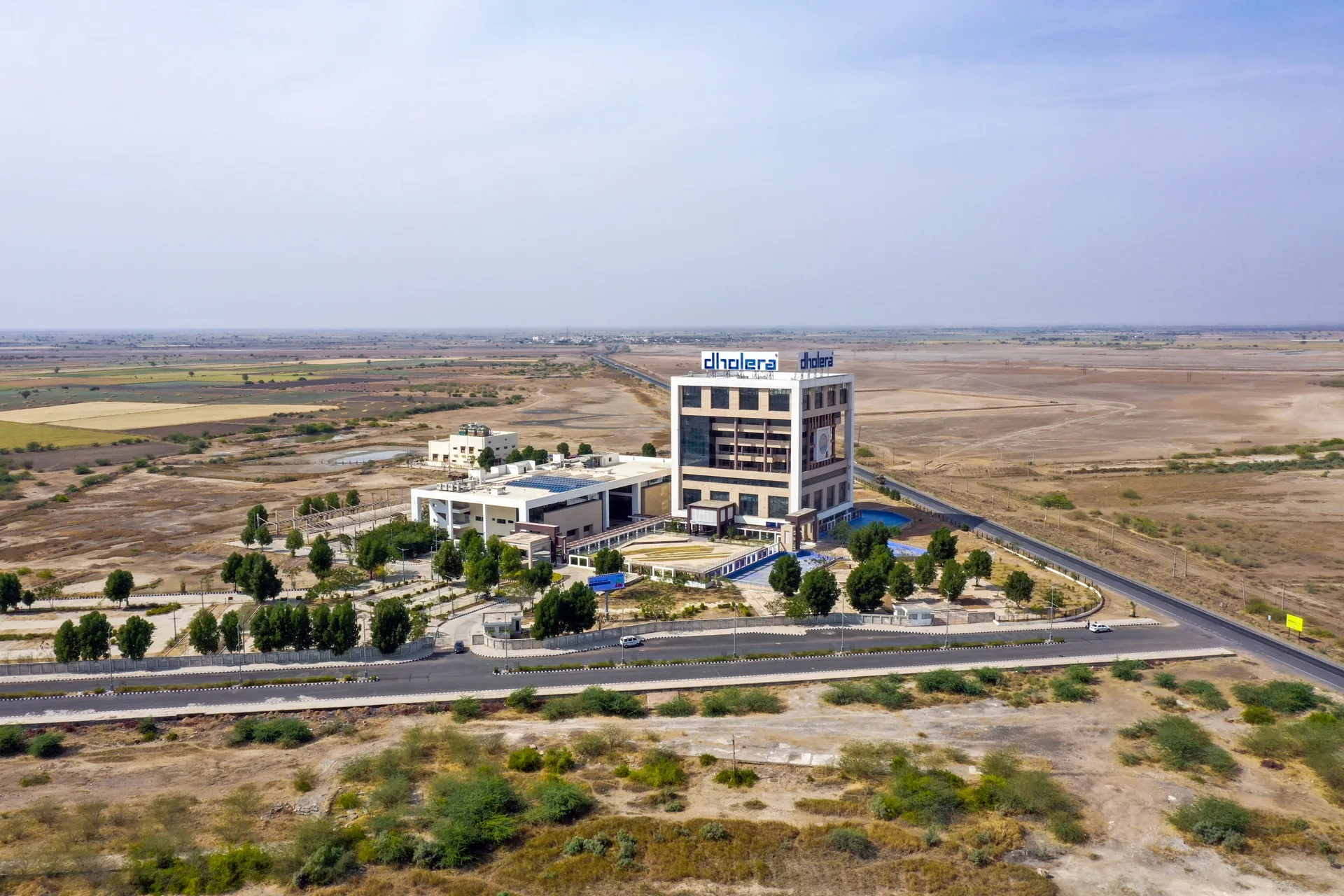
Connects industrial, residential, commercial, and administrative land uses.
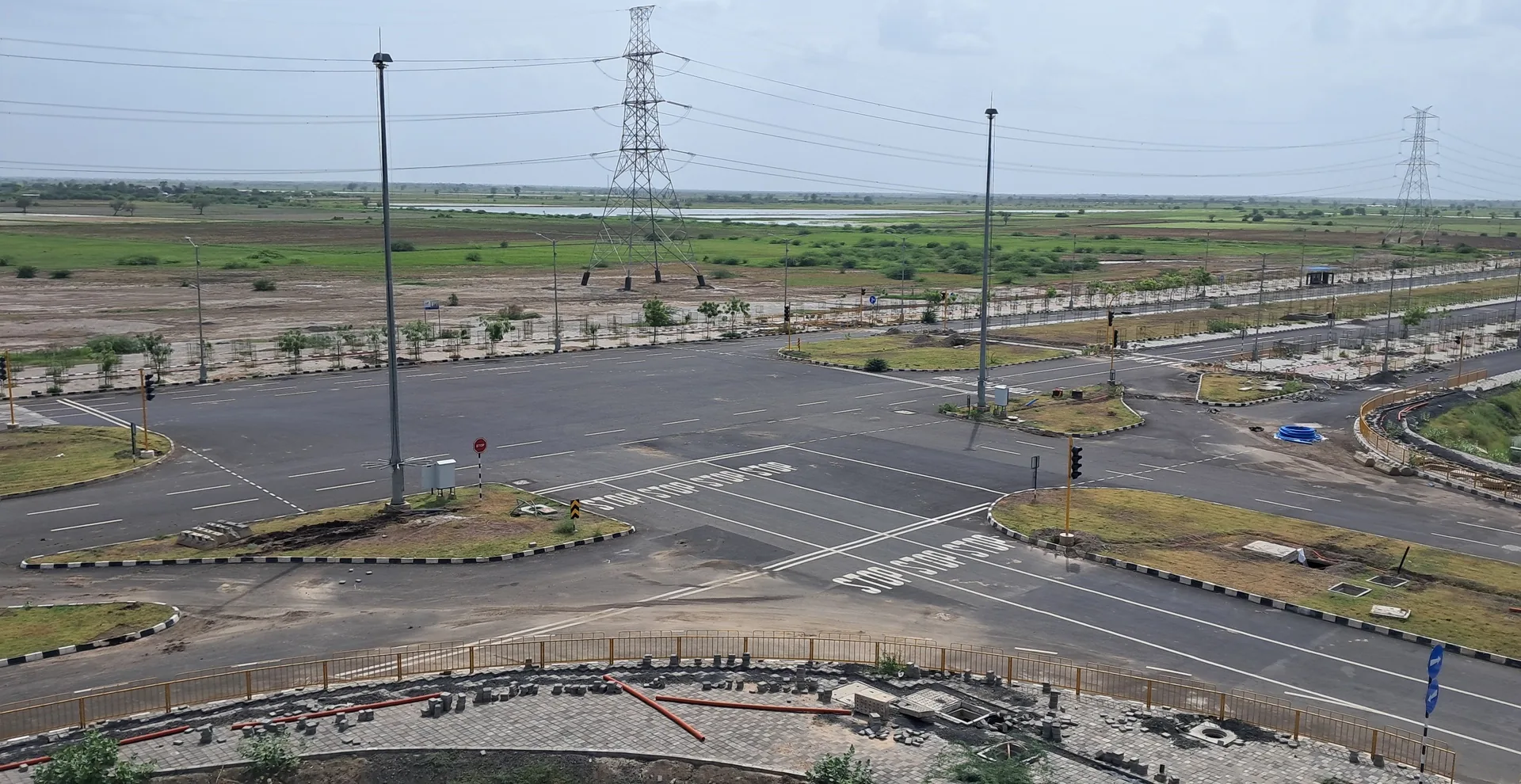
Infrastructure · Mobility & serviced land
Road Network & Utility Corridors
A planned road hierarchy with underground utility corridors designed to provide accessible, serviced plots across the Activation Area.
Explore the details
Activation Area network
Approx. 72 km
Utility approach
Integrated underground corridors
Purpose
Accessible, serviced plots
Understanding the infrastructure
How Road Network & Utility Corridors fits into Dholera.
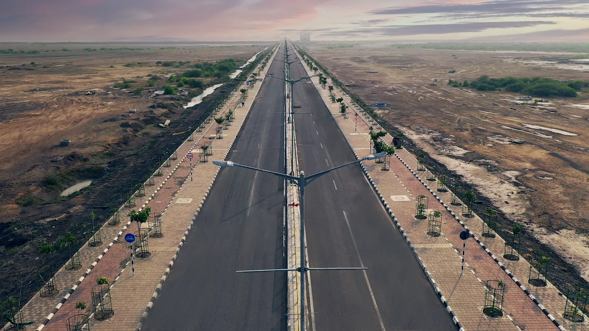
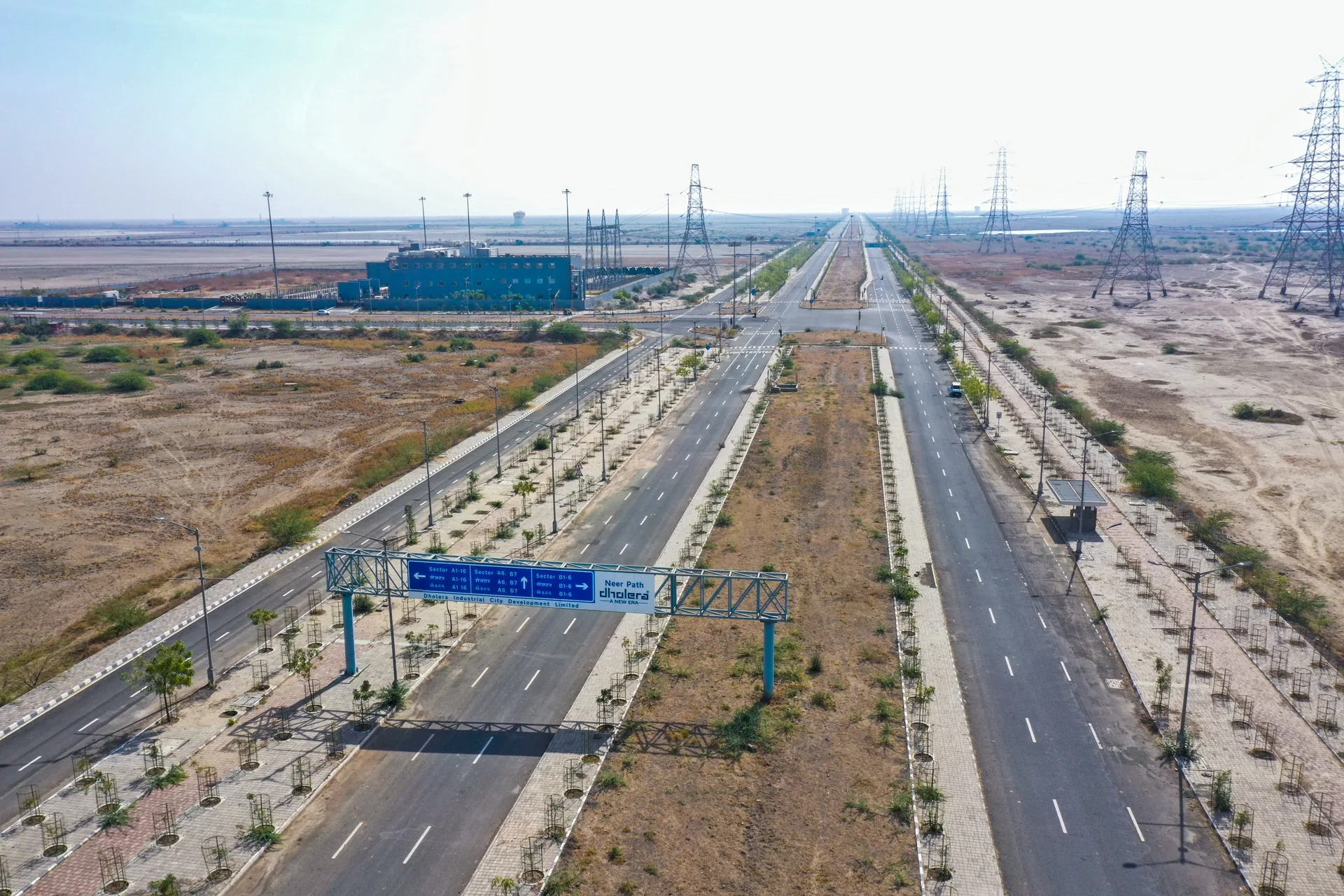
Dholera’s road system is more than a transport layer. Road reserves are planned as integrated service corridors, combining movement with potable water, recycled water, wastewater, stormwater, power, ICT, and other utility networks.
The Activation Area was planned with approximately 72 kilometres of roads and underground services. This network is intended to make industrial and urban land accessible while reducing repeated surface excavation for separate utility connections.
Role in the city
Why this matters to Dholera’s growth.
Carries coordinated utility services within planned road reserves.
Supports safer public space by keeping major services below ground.
Creates the local distribution network that links plots to regional connectivity.
Image gallery
See Road Network & Utility Corridors.
Official references
Check the latest source information.
Infrastructure and construction status can change. These Government of India, NICDC, DPIIT, or project-owner references provide the factual basis for this page and should be checked again before making a decision.
Continue exploring
View the complete directory
Related Dholera infrastructure.
Planning a Dholera site visit?